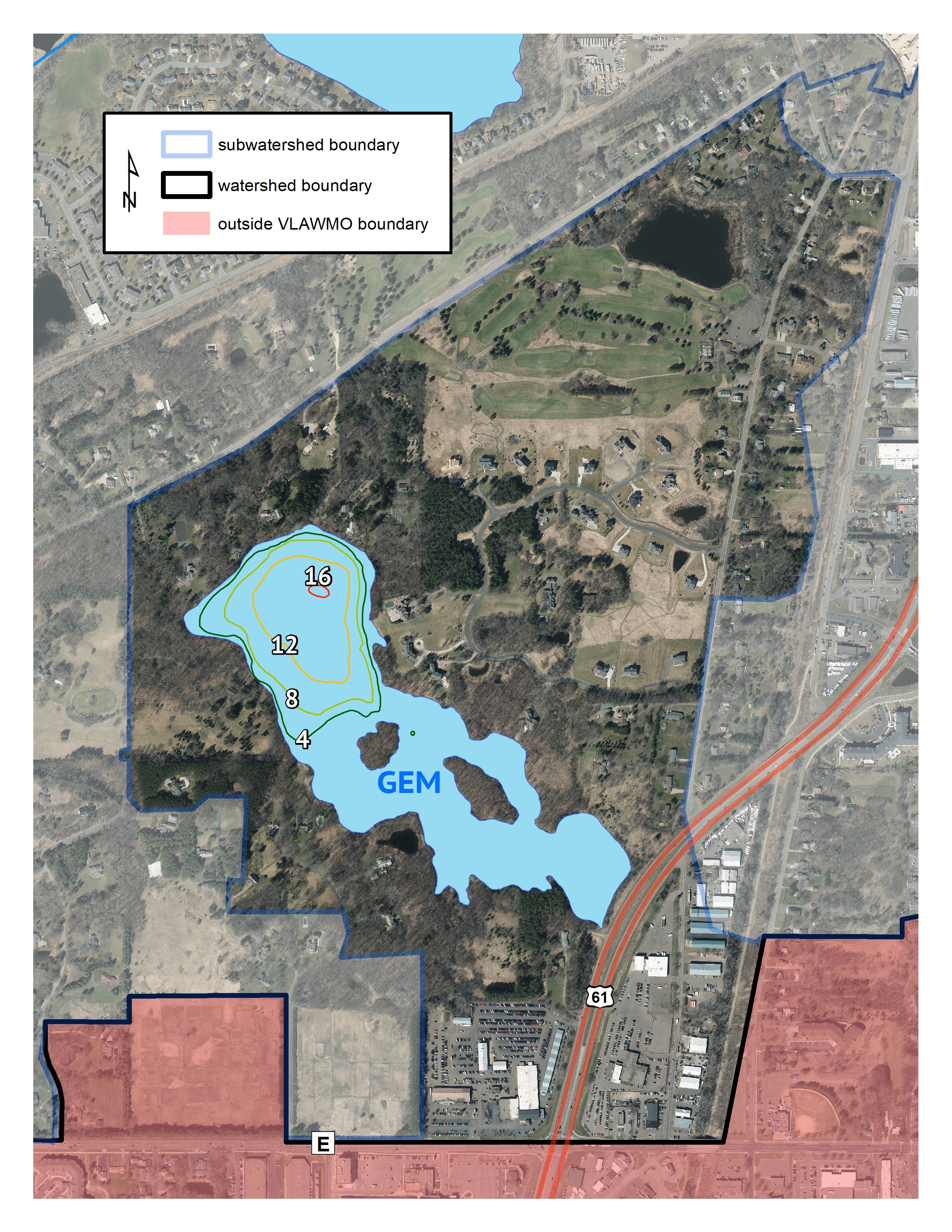
Located in the southeast corner of the VLAWMO watershed, Gem Lake is the only basin in the watershed that has no outlet. Due to the local topography and water table, Gem Lake is a closed watershed system. The southeastern portion of the lake is predominately wetland while the northwestern portion is fully open water. Highway 61 contains vegetated swales and underground culverts that connect the southern portion of the Gem Lake subwatershed to the lake.
Gem Lake was delisted from the Minnesota Impaired Waters List in 2018, marking a great success in the pursuit of water quality improvements in the VLAWMO watershed.
Surface Area
40 acres
Average Depth
7 ft
Maximum Depth
17 ft
Catchment Area
376 acres
Location
Gem Lake